June 22, 2019
I recently got back from a two-week satellite remote sensing training program taught at Cornell University. The highly methods-oriented course is designed to teach students how to acquire, analyze, and visualize satellite imagery from different sensors. The course broadened my knowledge of past, current, and future satellite missions and provided me with a solid understanding and timeline of the optical oceanography field.
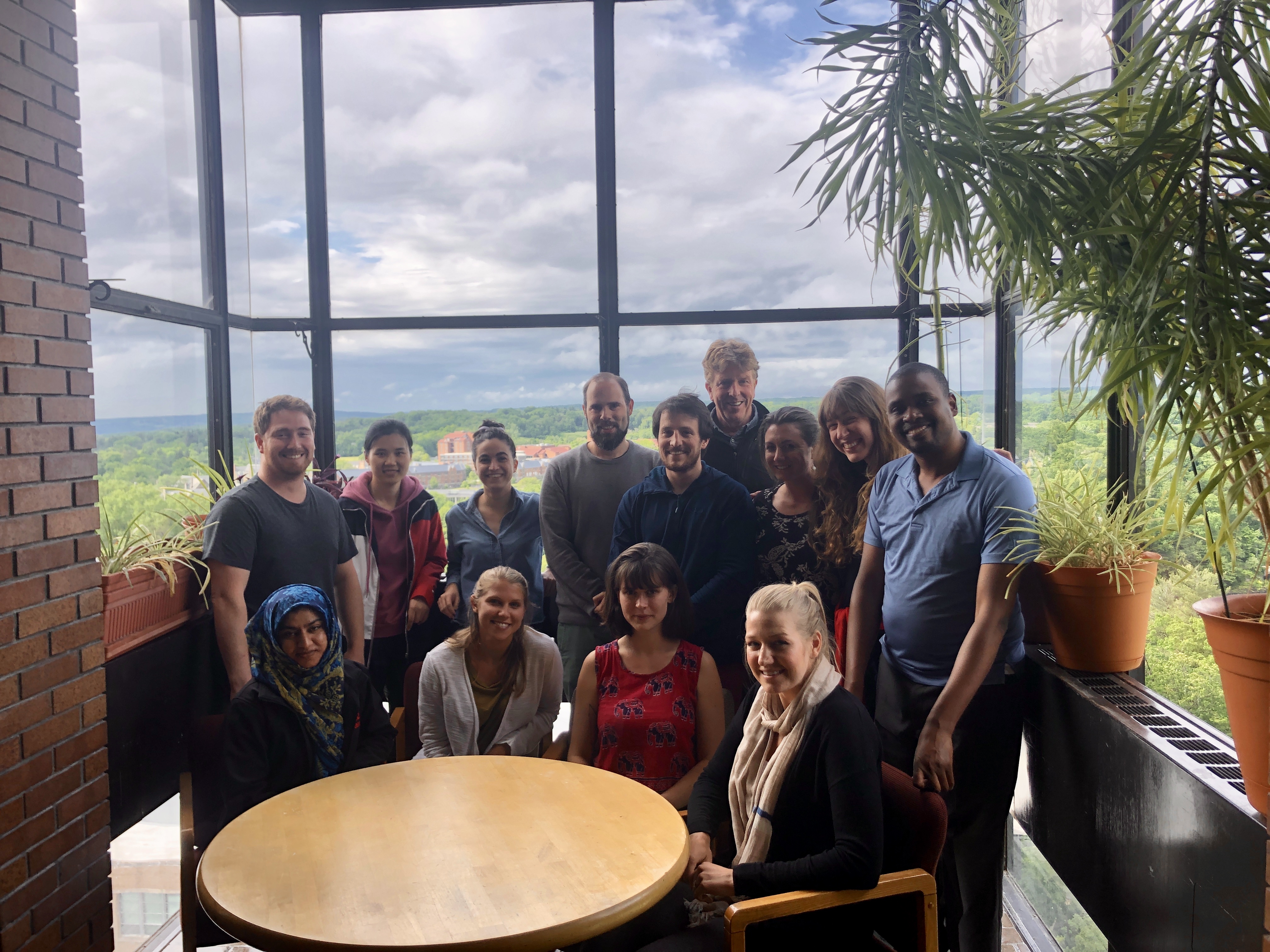
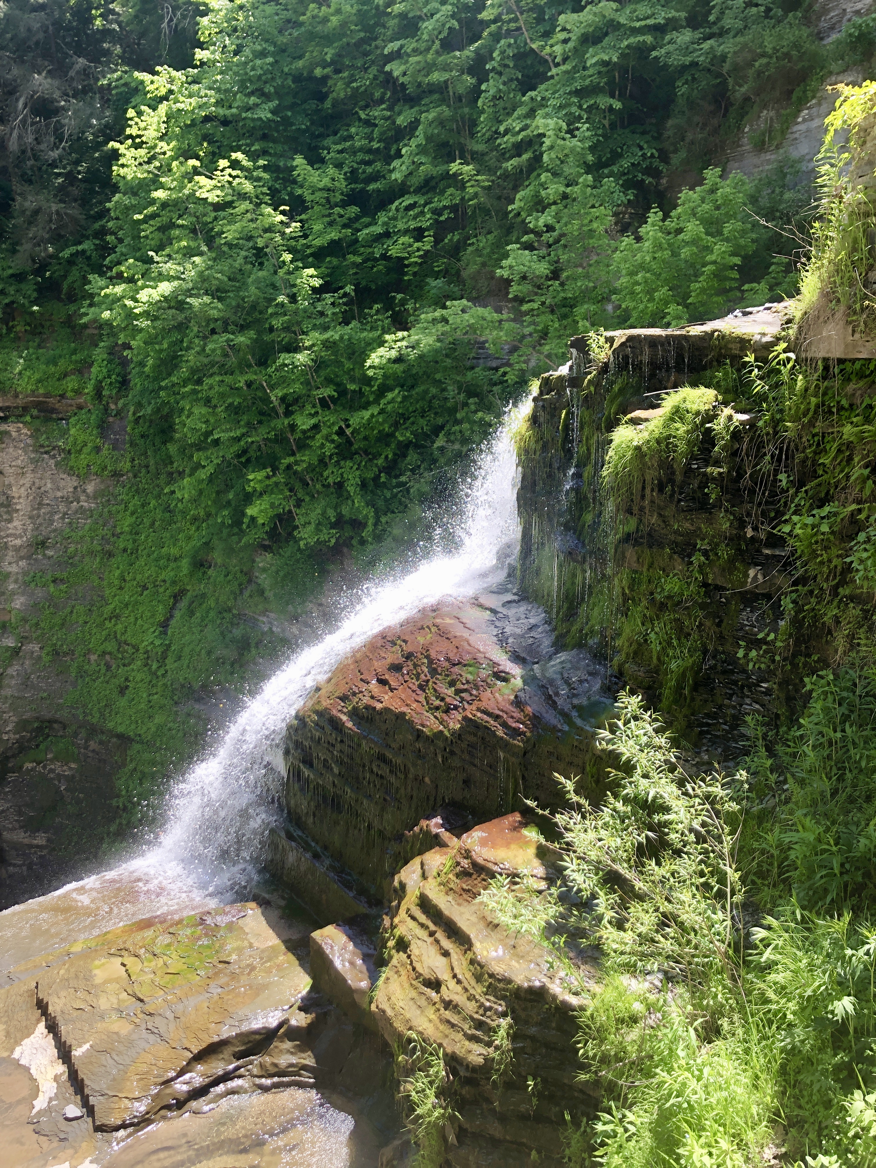
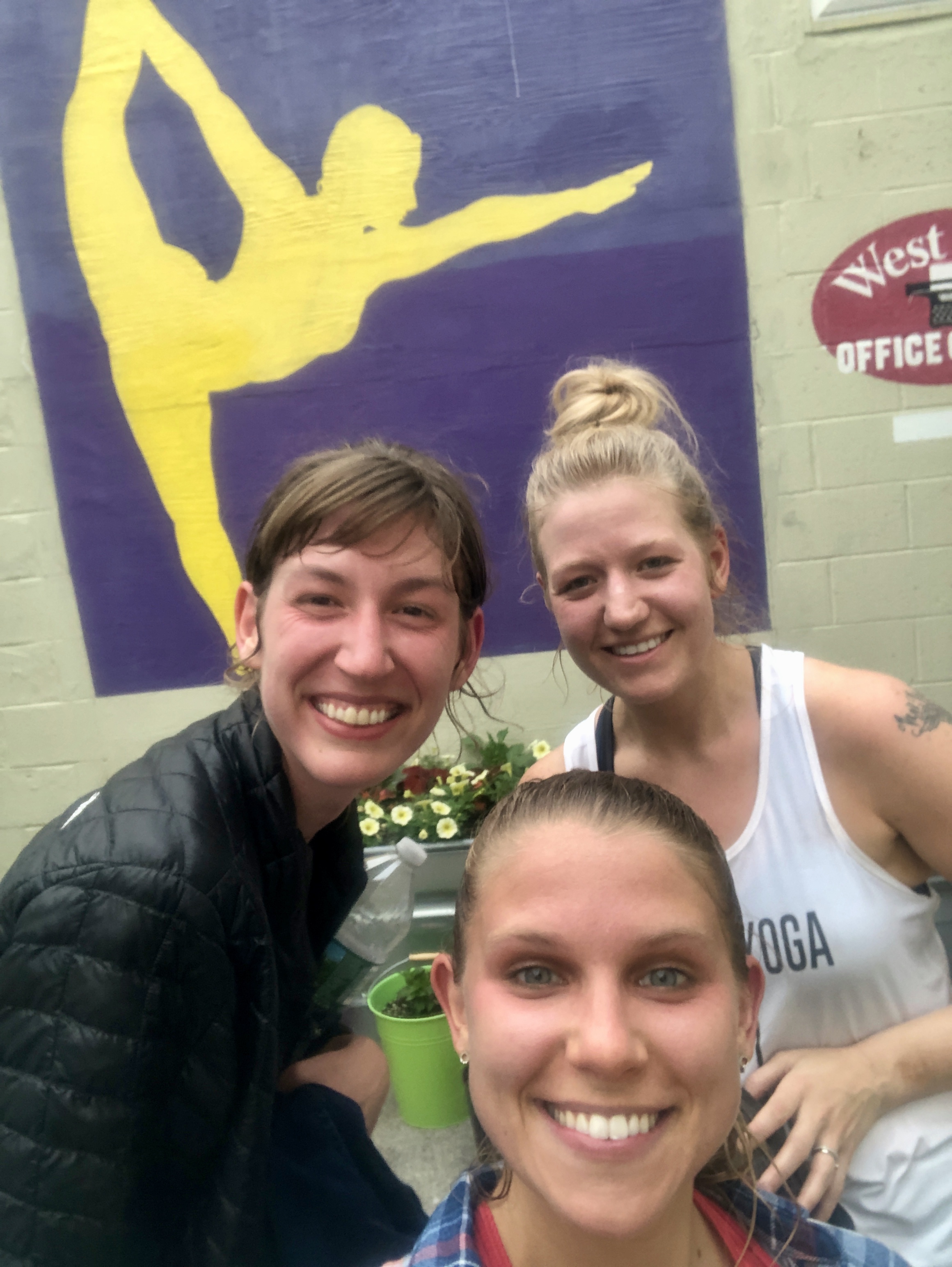
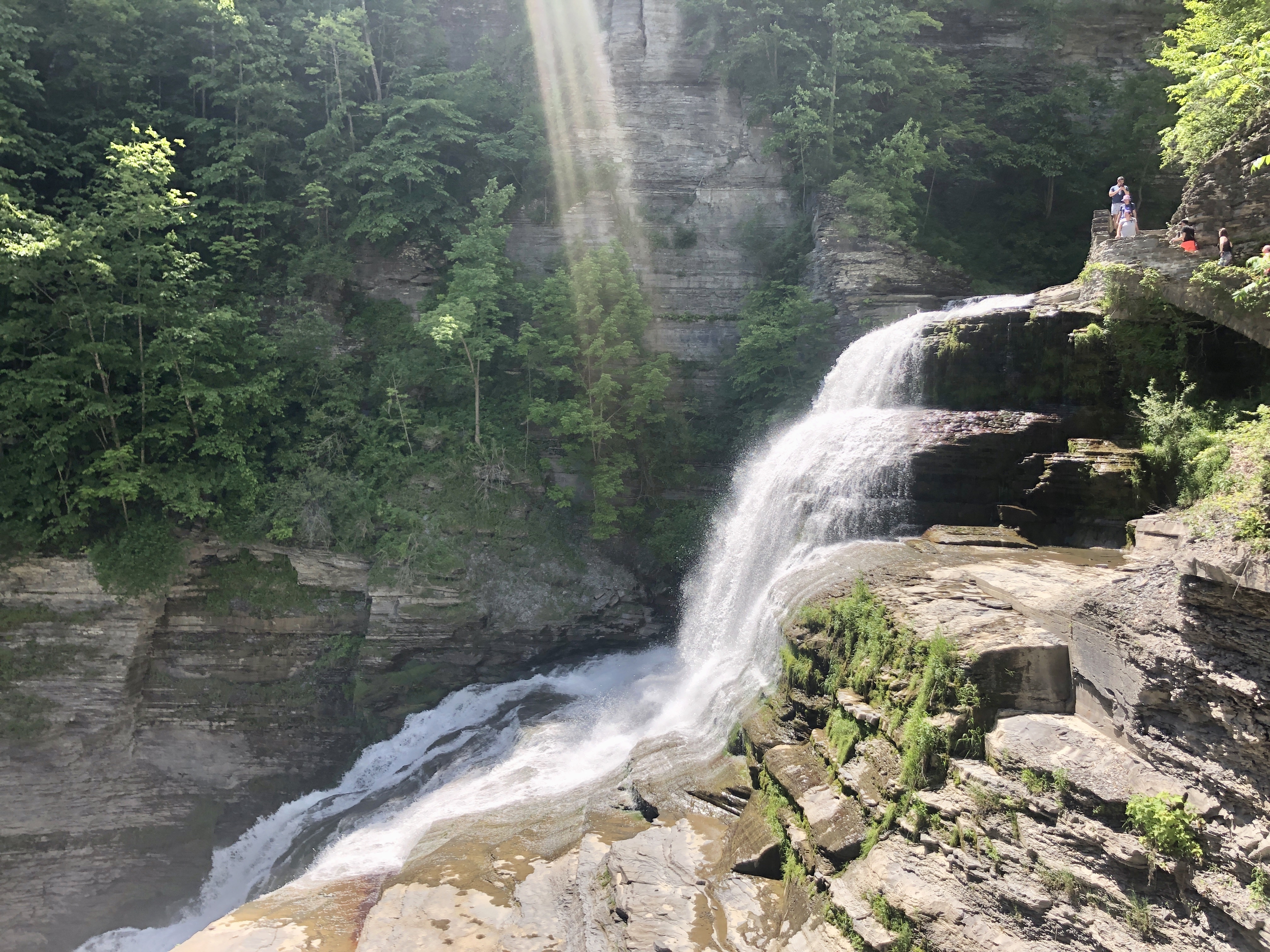
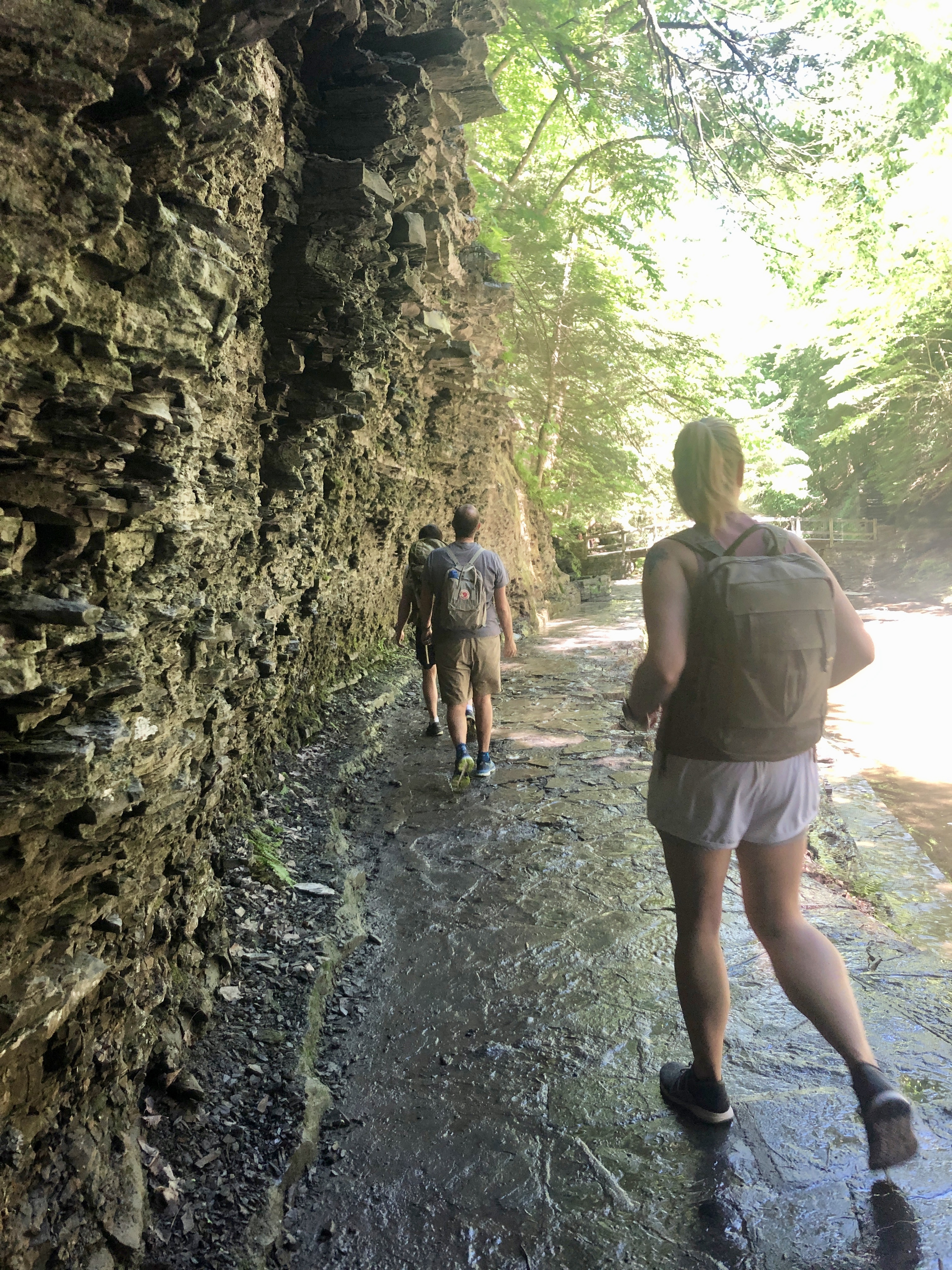
On June 2nd, I packed up my car and drove to Ithaca, NY for the first time. Our class of 11 students from across the globe quickly convened into a close-knit group that walked to class together every morning sharing our research interests, past experiences, and future plans. The campus was more beautiful (and hilly) than I expected. Just a few steps outside our dorm were natural gorges formed by glaciers with cascading waterfalls. We thoroughly explored campus by having lunch in a different building’s cafe every day. And of course, breaks to the Cornell Dairy Bar were a must.


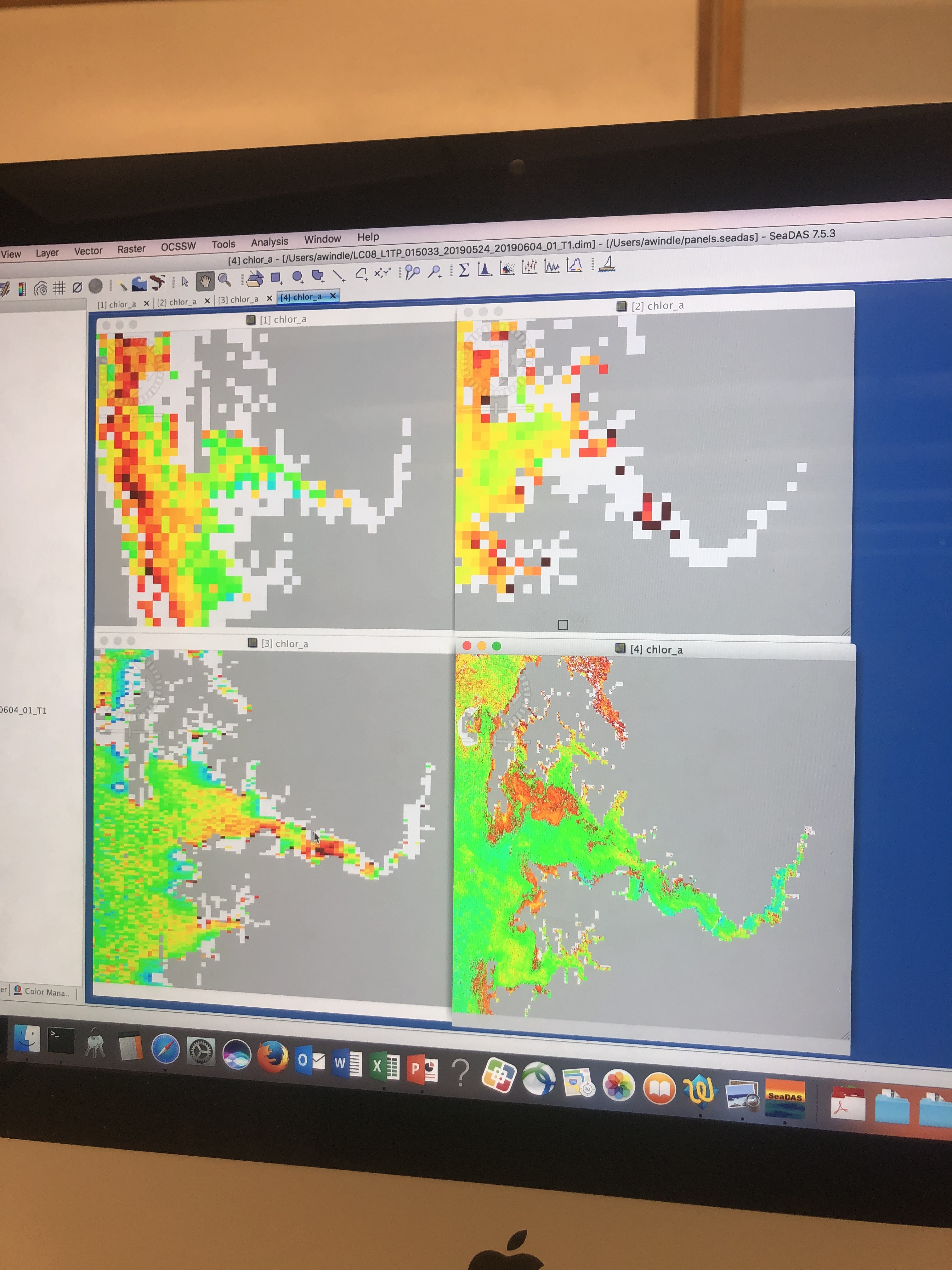
The course was a mix of lectures, computer work, and stories by the professor, Bruce Monger. Lectures covered a broad range of material including bio-optics, pigment algorithms, atmospheric corrections, and ended with methods on how to work with sea surface temperature, wind speed, and sea surface height. A strong emphasis was given to NASA’s satellite processing software SeaDAS where we learned how to acquire global and regional imagery and map geophysical parameters such as chlorophyll and suspended sediment. We were also taught the so-called ‘behind the scenes’ of SeaDAS- how to utilize Python scripts to batch process large quantities of raw satellite imagery. The material was challenging but was explained in such a way that was very manageable for the tasks required.
We knew a story was beginning when Bruce took a seat at the desk in the front of the room. Some of his stories included his time as a post-doc at NASA’s Goddard Space Flight Center. He would casually mention stories about remote sensing experts who I have read about in my studies. Bruce explained the history of satellite missions and problems along the way, giving us a better understanding of the current status of global satellite remote sensing. These stories helped me feel more in tune with the research; I felt like I grasped a more holistic and comprehensive perspective of the field I am studying.
To summarize my accomplishments during the course, I learned how to process Level 1 imagery to Level 2 and Level 3 of SeaWIFS, MODIS, VIIRS to obtain mapped images of chlorophyll. I also discovered how to utilize NASA’s SeaDAS processing tools to analyze imagery from the European satellites Sentinel 2 and 3. The benefit of this imagery is the high resolution (10-300m) that is needed for smaller coastal estuaries such as the Chesapeake Bay.
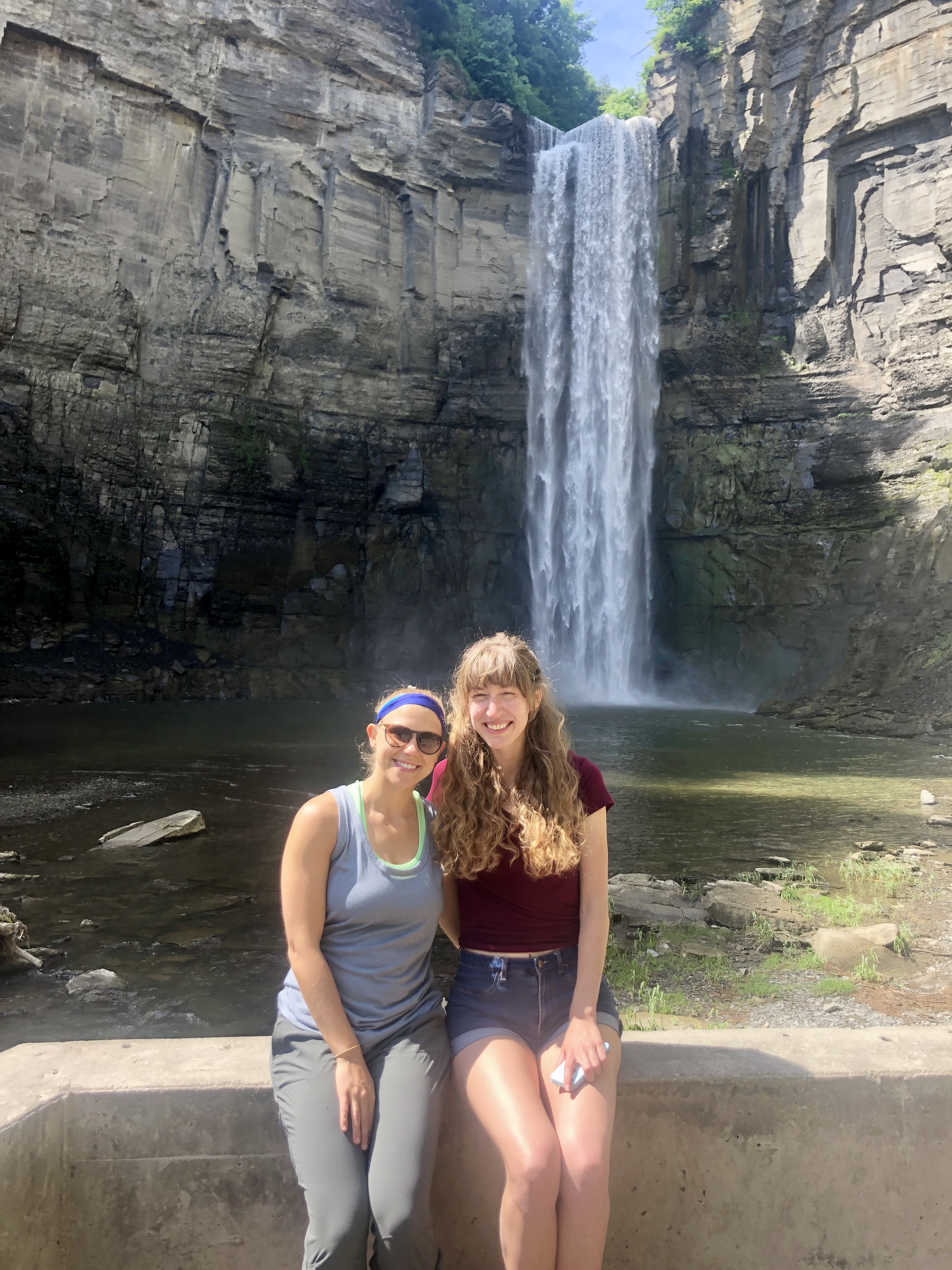
We lucked out with beautiful weather during the weekend and took advantage by exploring the Ithaca Farmers Market, hiking in Buttermilk Falls State Park, Treman State Park, and Taughannock Falls, which was remarkably 3 stories taller than Niagara Falls!


The course surpassed my expectations, allowing me to dive deeper into my research questions than before. I will undoubtedly use the knowledge I gained from this course for my PhD research and beyond. I would recommend the course for anyone remotely (pun not intended) interested in remote sensing. I thought it was a great introductory yet highly stimulating course that would improve any level of student’s skill set.